Storm Diana set to bring high winds and heavy rain to Sunderland
and live on Freeview channel 276
The fourth named storm of the winter is set to hit the UK later today, and although other parts of the country will bear the brunt of it, the North East won't escape entirely.
Related: Storm Diana on the way to Sunderland as Met Office warns of ‘major change’ in weatherCloud will thicken from the west during this afternoon, with rain and strengthening winds spreading east.
Advertisement
Hide AdAdvertisement
Hide Ad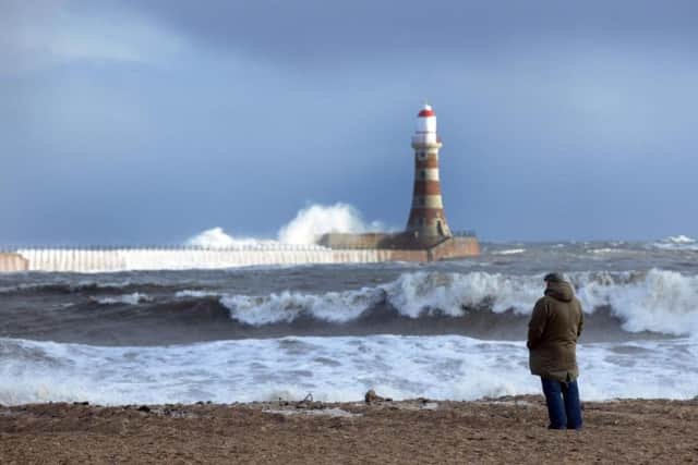

The rain will turn heavy and persistent across the Pennines later, with temperatures reaching a maximum of 7°C.
Tonight will be breezy, with winds upwards of 30mph, and there will be outbreaks of rain during the evening.
These will ease for a time, before breezy conditions return by dawn, with further rain or drizzle possible.
Wednesday will be a wet, windy day, with gales possible, especially along coasts and hills, although some drier intervals are likely.
Advertisement
Hide AdAdvertisement
Hide AdIt will turn much milder, reaching a maximum temperature of 13°C, though winds of more than 40mph will make it feel colder.
Thursday will see early morning ran, clearing later, though it will continue to be windy, with sunny spells and occasional heavy showers until Friday evening.
The outlook for Saturday is for a dry start, before cloud thickens, with rain possible later.